$19.95
“San Francisco Street Railways: A Cartographic History” is probably the most detailed map documenting all the rail transit lines in San Francisco beginning in the 19th century up to present day. Meticulously researched and exquisitely drawn by historian Stephen Watson, this is the ultimate piece of San Francisco railway transit history, sure to settle an argument or two. Color print is 23.5″ x 34.5″ and ships rolled in a tube ready for framing.

Description
“San Francisco Street Railways: A Cartographic History” is probably the most detailed map documenting all the rail transit lines in San Francisco beginning in the 19th century up to present day. Meticulously researched and exquisitely drawn by historian Stephen Watson, this is the ultimate piece of San Francisco railway transit history, sure to settle an argument or two. Color print is 23.5″ x 34.5″ and ships rolled in a tube ready for framing.
Additional information
| Weight | 18 oz |
|---|---|
| Dimensions | 26 × 5 × 5 in |
You may also like…
-

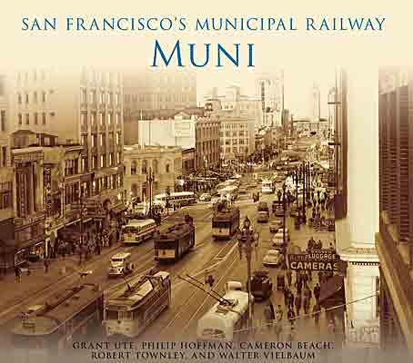
San Francisco’s Municipal Railway: Muni
$26.95 + CART -
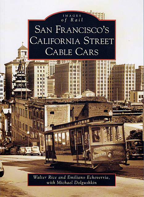
Book, San Francisco’s California Street Cable Cars (Arcadia)
$21.99 + CART -
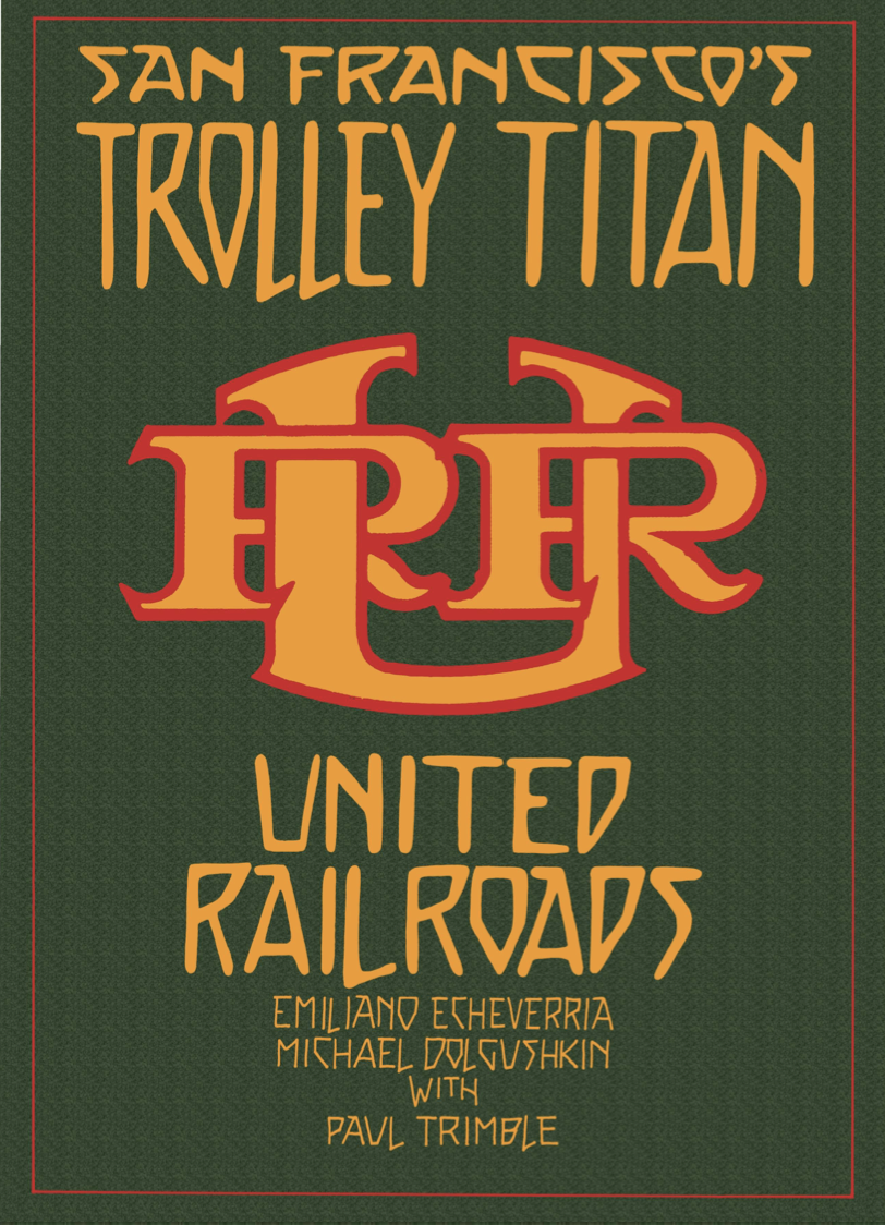
e-Book, San Francisco’s Trolley Titan: United Railroads
$69.95 + CART -
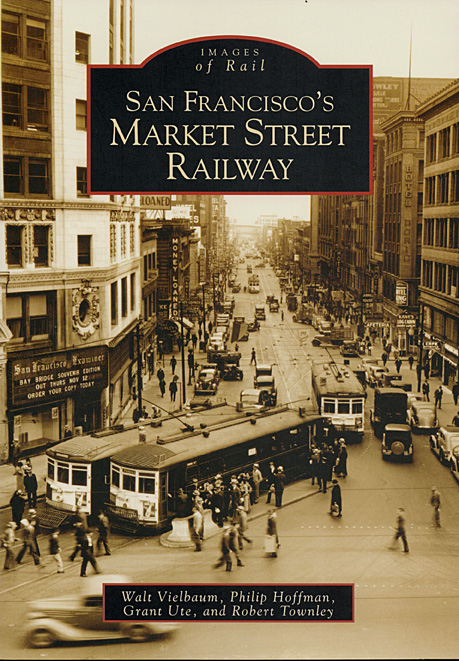
Book, San Francisco’s Market Street Railway (Arcadia)
$21.99 + CART -
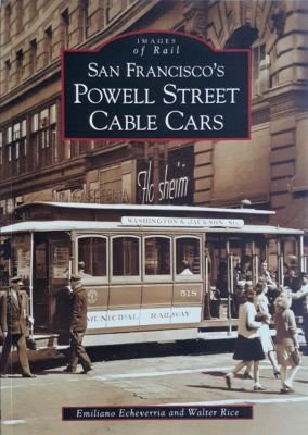
SF’s Powell Street Cable Cars by Emiliano Echeverria & Walter Rice
$21.99 + CART -
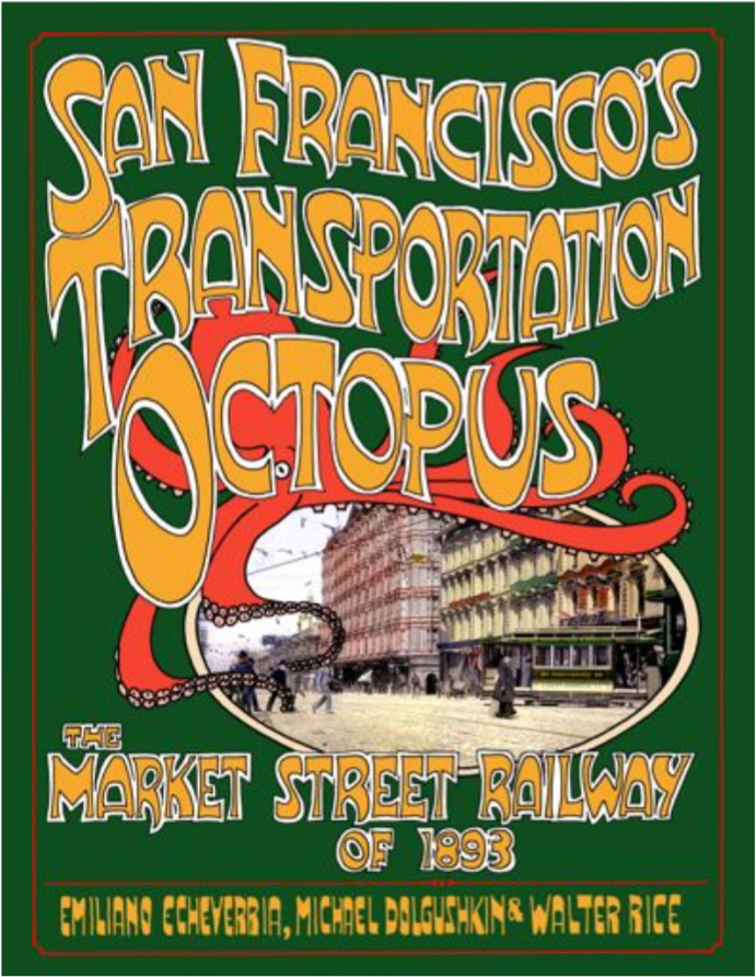
e-Book, “San Francisco’s Transportation Octopus”
$39.95 + CART